History
From Past to Present Washougal Waterfront History
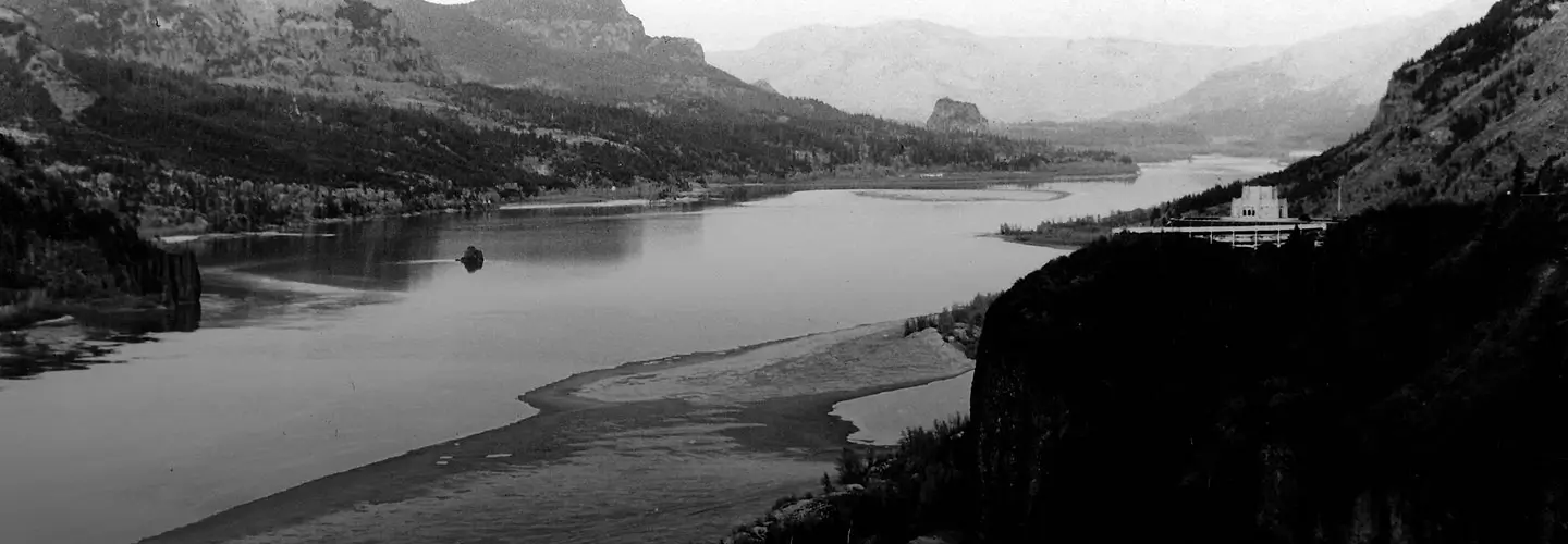
Along the banks of the Columbia River, this shoreline has always been a place of connection. For generations, Native communities lived with the rhythm of the river, gathering, fishing, and traveling along its edge.
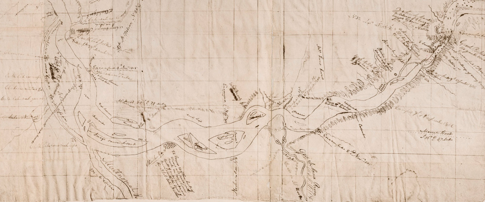
In 1806, the Lewis and Clark expedition passed through this stretch of the Columbia, camping for six days just upriver at Cottonwood Beach on their journey home. It was their longest stay in the region, a stop made to hunt and stock provisions before continuing east. Decades later, settlers followed. Between 1845 and 1880, Parkersville and Parker’s Landing took shape along this very ground, one of the earliest American settlements north of the Columbia and an active hub of river commerce, with a dock, trading post, store, and one of the first schools in what would become Washington State.
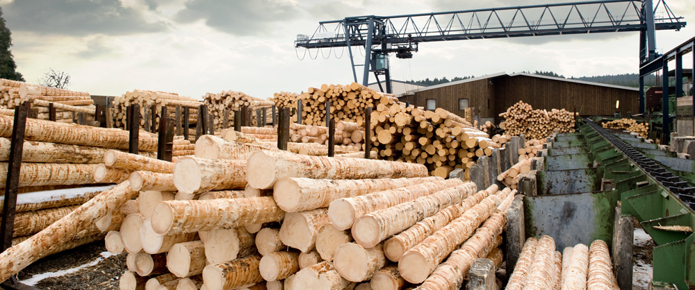
As the late 1800s brought further growth, timber and paper production shaped the waterfront in Camas, Washington and nearby Washougal, Washington, turning the river into a working corridor that powered the region for decades. The Hambleton Bros. Lumber Co. sawmill was part of that legacy, milling timber along this waterfront for roughly sixty years before closing its doors in 2010.
Over time, that chapter began to change. As industry stepped back, the opportunity to reconnect with the river came forward. Community planning, public access, and investment led by the Port of Camas-Washougal helped reimagine the riverfront as a place to gather, walk, and spend time by the water.
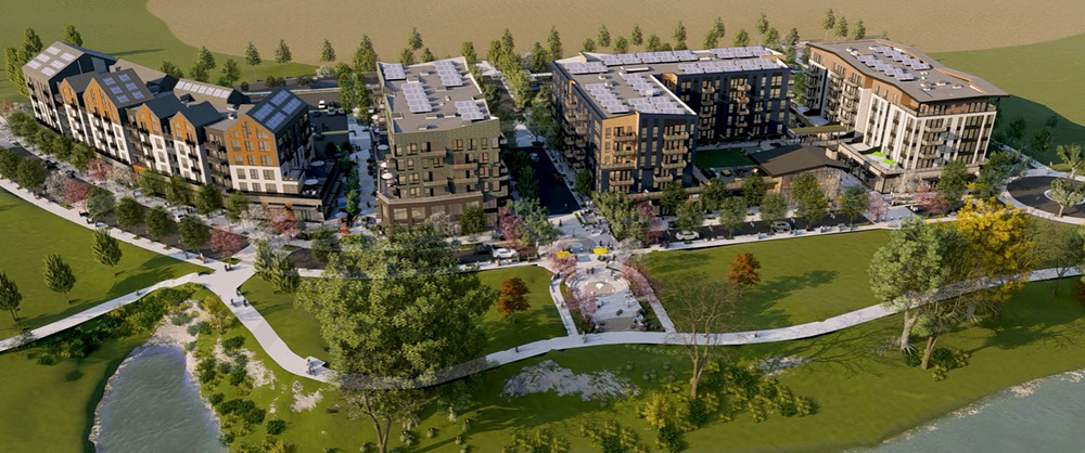
Hyas Point continues that story. Set along the river’s edge, it brings new homes, gathering spaces, and everyday moments to a place that has always held meaning. Here, the water is not just something to look at, it’s part of how you live.
Late 1800'sRiver Commerce
1953–2010Industrial Growth
2011–2021Waterfront Renewal
Present DayHyas Point
Respect & CommitmentHyas Point Land Acknowledgment
Hyas Point is located on the ancestral lands of Indigenous peoples who have lived along the Columbia River since time immemorial, including Chinookan communities and other Tribes of the region.
We recognize the enduring presence, history, and cultural traditions of these communities, whose connection to the river continues today. The name “Hyas,” meaning “great” or “important” in Chinuk Wawa, reflects the significance of this place.
We offer this acknowledgment with respect and a commitment to ongoing learning, partnership, and care for the land and water that shape this community.